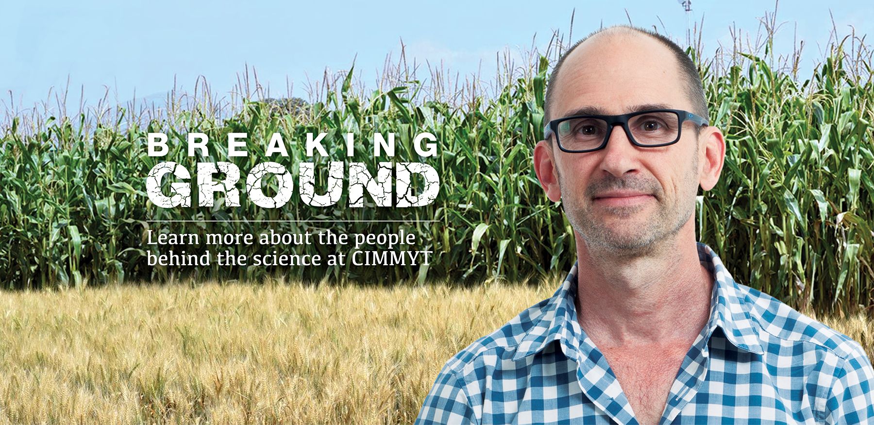
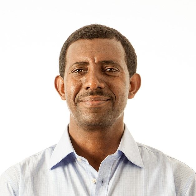
Breaking Ground: Jordan Chamberlin avidly explores the changing landscapes of Africa
Sub-Saharan Africa is undergoing important transformations, including climate change, population growth, urbanization and migration flows, and growth in digital technologies. What can we say about the likely development trajectories that African rural economies are on, and the implications for poor farming households? These are central questions for Jordan Chamberlin, an economist at the International Maize and Wheat Improvement Center (CIMMYT) in Kenya.
Chamberlin’s desk is covered with screens teeming with numbers, complex mathematical equations, lines of code and aerial views of African landscapes. He combines traditional microeconomic analysis with geospatial modelling skills to study some of the ways in which rural transformations are occurring. In this era of big data, he examines the wealth of spatial and socioeconomic datasets to explore the relationships between drivers of change and smallholder welfare, sometimes revealing surprising insights on how rural communities in Africa are evolving.
“Are commercial farms good or bad for neighboring smallholder farmers? Which households can benefit from the rapidly evolving rural land markets in Africa? What drives migration between rural areas? These are some examples of the complex but increasingly important questions that inform how we understand the evolution of agri-food systems in developing countries,” Chamberlin explains. “Fortunately, we also increasingly have access to new data that helps us explore these issues.”
In addition to household survey datasets — the bread and butter of applied social scientists — today’s researchers are also able to draw on an ever-expanding set of geospatial data that helps us to better contextualize the decisions smallholder farmers make.
He cites current work, which seeks to understand input adoption behaviors through better measurement of the biophysical and marketing contexts in which small farms operate. “Evidence suggests that low use rates of inorganic fertilizer by smallholders is due in part to poor expected returns on such investments,” he explains, “which are the result of site-specific agronomic responses, rainfall uncertainty, variation in input-output price ratios, and other factors.”
We are increasingly able to control for such factors explicitly: one of Chamberlin’s recent papers shows the importance of soil organic carbon for location-specific economic returns to fertilizer investments in Tanzania. “After all, farmers do not care about yields for yields’ sake — they make agronomic investments on the basis of how those investments affect their economic welfare.”
Better data and models may help to explain why farmers sometimes do not adopt technologies that we generally think of as profitable. A related strand of his research seeks to better model the spatial distribution of rural market prices.

A spatial economist’s journey on Earth
Ever since his experience as a Peace Corps volunteer in Paraguay, where he worked as a beekeeping specialist, Chamberlin knew he wanted to spend his professional life working with smallholder farmers. He wanted to better understand how rural development takes place, and how policies and investments can help rural households to improve their welfare.
In pursuit of these interests, his academic journey took him from anthropology to quantitative geography, before leading him to agricultural economics. “While my fundamental interest in rural development has not changed, the analytical tools I have preferred have evolved over the years, and my training reflects that evolution,” he says.
Along with his research interests, he has always been passionate about working with institutions within the countries where his research has focused. While working with the International Food Policy Research Institute (IFPRI) in Ethiopia, he helped establish a policy-oriented GIS lab at the Ethiopian Development Research Institute (EDRI). Years later, as part of his work with Michigan State University, he served as director of capacity building at the Indaba Agricultural Policy Research Institute (IAPRI), a not-for-profit Zambian research organization. He continues to serve as an external advisor on PhD committees, and considers mentorship a key part of his professional commitments.
He joined CIMMYT at the Ethiopia office in 2015 as spatial economist, part of the foresight and ex ante group of the Socioeconomics program.
As part of his research portfolio, he explores the role of new technologies, data sources and extension methods in the scaling of production technologies. Under the Taking Maize Agronomy to Scale in Africa (TAMASA) project, one area he has been working on is how we may better design location-specific agronomic advisory tools. Working with the Nutrient Expert tool, developed by the African Plant Nutrition Institute (APNI), he and his research team have conducted randomized control trials in Ethiopia and Nigeria to evaluate the impacts of such decision-support tools on farmer investments and productivity outcomes. They found that such tools appear to contribute to productivity gains, although tool design matters — for example, Nigerian farmers were more likely to take up site-specific agronomic recommendations when such information was accompanied by information about uncertainty of financial returns.

Creative rethinking
While Chamberlin’s research portfolio is diverse, one commonality is the drive to use new data and tools to better guide how development resources are allocated.
“Given the scarcity of resources available to governments and their partners, it is important to have sound empirical foundations for the allocation of these resources. Within CIMMYT, I see my role as part of a multidisciplinary team whose goal is to generate such empirical guidance,” he says.
This research also contributes to better design of agricultural development policies.
“Even though many of the research topics that my team addresses are not traditional areas of emphasis within CIMMYT’s socioeconomic work, I hope that we are demonstrating the value of broad thinking about development questions, which are of fundamental importance to one of our core constituencies: the small farmers of the region’s maize and wheat-based farming systems.”
