
funder_partner: European Space Agency (ESA)

Digital revolution can transform agri-food systems

A digital transformation is changing the face of international research for development and agri-food systems worldwide. This was the key takeaway from the 4th annual CGIAR Big Data in Agriculture Convention held virtually last month.

“In many countries, farmers are using data to learn about market trends and weather predictions,” said Martin Kropff, director general of the International Maize and Wheat Improvement Center (CIMMYT), in a video address to convention participants. “But many still do not have access to everything that big data offers, and that is where CIMMYT and partners come in.”

As a member of CGIAR, CIMMYT is committed to ensuring that farmers around the world get access to data-driven solutions and information, while at the same time ensuring that the data generated by farmers, researchers and others is used ethically.

According to CGIAR experts and partner organizations, there are four key areas with the potential to transform agriculture in the next 10 years: data, artificial intelligence (AI), digital services and sector intelligence.

Key interventions will involve enabling open data and responsible data use, developing responsible AI, enabling and validating bundled digital services for food systems, and building trust in technology and big data — many of which CIMMYT has been working on already.

Harnessing data and data analytics

Led by CIMMYT, the CGIAR Excellence in Breeding (EiB) team have been developing the Enterprise Breeding System (EBS) — a single data management software solution for global breeding programs. The software aims to provide a solution to manage data across the entire breeding data workflow — from experiment creation to analytics — all in a single user-friendly dashboard.

CIMMYT and partners have also made significant breakthroughs in crop modelling to better understand crop performance and yield gaps, optimize planting dates and irrigation systems, and improve predictions of pest outbreaks. The Community of Practice (CoP) on Crop Modeling, a CGIAR initiative led by CIMMYT Crop Physiologist Matthew Reynolds, aims to foster collaboration and improve the collection of open access, easy-to-use data available for crop modelling.

The CIMMYT-led Community of Practice (CoP) on Socio-Economic Data continues to work at the forefront of making messy socio-economic data interoperable to address urgent and pressing global development issues in agri-food systems. Data interoperability, one of the foundational components of the FAIR data standards supported by CGIAR, addresses the ability of systems and services that create, exchange and consume data to have clear, shared expectations for its content, context and meaning. In the wake of COVID-19, the world witnessed the need for better data interoperability to understand what is happening in global food systems, and the CoP actively supports that process.

The MARPLE team carries out rapid analysis using the diagnostic kit in Ethiopia. (Photo: JIC)

Improving data use and supporting digital transformation

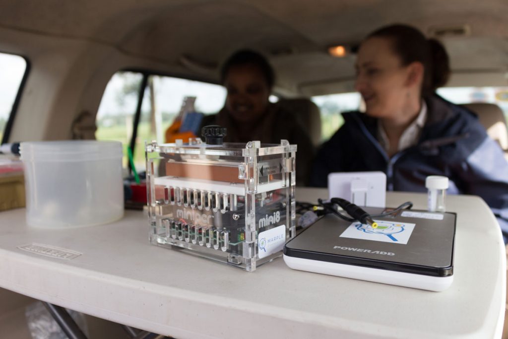
In Ethiopia, the MARPLE (Mobile And Real-time PLant disEase) diagnostic kit — developed by CIMMYT, the Ethiopian Institute of Agricultural Research (EIAR) and the John Innes Centre (JIC) — has helped researchers, local governments and farmers to rapidly detect diseases like wheat rust in the field. The suitcase-sized kit cuts down the time it takes to detect this disease from months to just 48 hours.

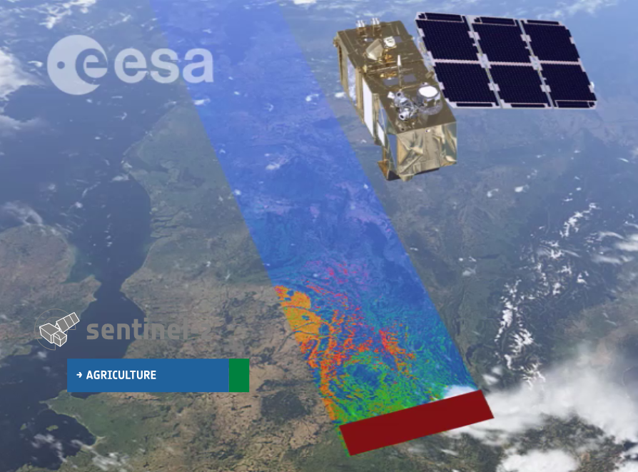
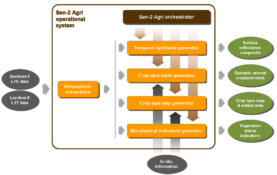
In collaboration with research and meteorological organizations including Wageningen University and the European Space Agency (ESA), CIMMYT researchers have also been developing practical applications for satellite-sourced weather data. Crop scientists have been using this data to analyze maize and wheat cropping systems on a larger scale and create more precise crop models to predict the tolerance of crop varieties to stresses like drought and heatwaves. The aim is to share the climate and weather data available on an open access, user-friendly database.

Through the AgriFoodTrust platform — a new testing and learning platform for digital trust and transparency technologies – CIMMYT researchers have been experimenting with technologies like blockchain to tackle issues such as food safety, traceability, sustainability, and adulterated and counterfeit fertilizers and seeds. Findings will be used to build capacity on all aspects of the technologies and their application to ensure this they are inclusive and usable.

In Mexico, CIMMYT and partners have developed an application which offers tailored recommendations to help individual farmers deal with crop production challenges sustainably. The AgroTutor app offers farmers free information on historic yield potential, local benchmarks,  recommended agricultural practices,  commodity price forecasting and more.

Stepping up to the challenge

As the world becomes increasingly digital, harnessing the full potential of digital technologies is a huge area of opportunity for the agricultural research for development community, but one that is currently lacking clear leadership. As a global organization already working on global problems, it’s time for the CGIAR network to step up to the challenge. Carrying a legacy of agronomic research, agricultural extension, and research into adoption of technologies and innovations, CGIAR has an opportunity to become a leader in the digital transformation of agriculture.

Currently, the CGIAR System is coming together as One CGIAR. This transformation process is a dynamic reformulation of CGIAR’s partnerships, knowledge, assets, and global presence, aiming for greater integration and impact in the face of the interdependent challenges facing today’s world.

“One CGIAR’s role in supporting digitalization is both to improve research driven by data and data analytics, but also to foster the digitalization of agriculture in low and lower-middle income countries,” said CIMMYT Economist Gideon Kruseman at a session on Exploring CGIAR Digital Strategy at last month’s Big Data convention.

“One CGIAR — with its neutral stance and its focus on global public goods — can act as an honest broker between different stakeholders in the digital ecosystem.”

Cover photo: A researcher demonstrates the use of the AgroTutor app on a mobile phone in Mexico. (Photo: Francisco Alarcón/CIMMYT)

Space data applications for wheat and maize research

In 2017, a call for proposals from Copernicus Climate Change Service Sectoral Information Systems led the International Maize and Wheat Improvement Center (CIMMYT to collaborate with Wageningen University, the European Space Agency (ESA), and other research and meteorological organizations to develop practical applications in agricultural and food security for satellite-sourced weather data.

The project, which recently ended, opened the door to a wide variety of potential uses for this highly detailed data.

ESA collects extremely granular data on weather, churned out at an hourly rate. CIMMYT researchers, including Foresight Specialist Gideon Kruseman, reviewed this data stream, which generates 22 variables of daily and sub-daily weather data at a 30-kilometerlevel of accuracy, and evaluated how it could help generate agriculture-specific weather and climate data sets.

“For most people, the reaction would be, ‘What do we do with this?’ Kruseman said. “For us, this is a gold mine.”

For example, wind speed — an important variable collected by ESA satellites — is key for analyzing plant evaporation rates, and thus their drought tolerance. In addition, to date, information is available on ideal ago-climatic zones for various crop varieties, but there is no data on the actual weather conditions during a particular growing season for most sites.

By incorporating the information from the data sets into field trial data, CIMMYT researchers can specifically analyze maize and wheat cropping systems on a larger scale and create crop models with higher precision, meaning that much more accurate information can be generated from the trials of different crop varieties.

The currently available historic daily and sub-daily data, dating back to 1979, will allow CIMMYT and its partners to conduct “genotype by environment (GxE)” interaction analysis in much higher detail. For example, it will allow researchers to detect side effects related to droughts and heat waves and the tolerance of maize and wheat lines to those stresses. This will help breeders create specific crop varieties for farmers in environments where the impact of climate change is predicted to be more apparent in the near future.

“The data from this project has great potential fix this gap in information so that farmers can eventually receive more targeted assistance,” said Kruseman.

These ideas are just the beginning of the agricultural research and food security potential of the ESA data. For example, Kruseman would like to link the data to household surveys to review the relationship between the weather farmers experience and the farming decisions they make.

By the end of 2019, the data will live on an open access, user-friendly database. Eventually, space agency-sourced weather data from as far back as 1951 to as recent as five days ago will be available to researchers and weather enthusiasts alike.

Already CIMMYT scientists are using this data to understand the potential of a promising wheat line, for seasonal forecasting, to analyze gene-bank accessions and for a statistical analysis of maize trials, with many more high-impact applications expected in the future.

European Space Agency selects CIMMYT to pilot new remote sensing project

Signing ceremony (L-R) with Pierre Defourny, Urs Schulthess, Kai Sonder, Bruno Gérard and Francelino Rodrigues giving CIMMYT access to the pilot version of the Sen2-Agri processing system and receive training on its use. Photo: Liliana Díaz Ramírez

EL BATAN, Mexico (CIMMYT) – The International Maize and Wheat Improvement Center (CIMMYT) has been selected by the European Space Agency (ESA) to have access to the pilot version of the Sen2-Agri processing system and receive training on its use.

As an ESA “champion user,” CIMMYT will test the ESA prototype system in Bangladesh and Mexico. These two sites cover a wide range of farming systems, from the large wheat fields of the Yaqui Valley to a more diverse system in Bangladesh, where parcel sizes can be as small as 0.05 hectares and farmers grow two to three crops per year on a single field.

“The great unmanned aerial vehicle (UAV) expertise acquired by CIMMYT is very complementary to the full exploitation of the new satellite generation capabilities,” says Pierre Defourny, professor at the Université catholique de Louvain in Belgium who is leading the Sen2-Agri project. “CIMMYT’s two cases will generate products that will support our joint efforts for wheat blast monitoring in Bangladesh and improve data availability for GreenSat in Mexico.”

In the early days of remote sensing, limited availability of data was a major constraint for putting the data to good use. Basic processing of the coarse data was also time consuming and tedious.

Fortunately, this has greatly changed in recent years. Open and free satellite data, such as Landsat 8 and Sentinel 1 & 2, allow for almost weekly coverages at resolutions as fine as 10 meters. Thanks to this new speed and precision, users can now focus on applying the data, deriving information products even for small holder farmers in remote areas.

The Sentinel 2 satellites have a swath width of 290 km. Sentinel-2A is already operational, while Sentinel-2B will be launched in the spring of 2018. Together, they will be able to cover the Earth every 5 days.

For example, the CIMMYT-led STARS project in Bangladesh developed an irrigation scheduling app called PANI, which uses remotely sensed data to estimate crop water use. From this data the farmer receives a simple text message on their cell phone that gives recommendations as to whether a particular field needs to be irrigated or not.

Sen2-Agri is unique compared to other systems in that it simplifies and automates satellite data processing. The system allows for semi-automated generation of products, such as cropland detection, crop classification, normalized difference vegetation index (NDVI) and leaf area index (LAI) based on images taken periodically by satellites Sentinel-2 and Landsat 8.

A signing ceremony was held on 15 August, 2016 to seal the cooperation between ESA and CIMMYT. Bruno Gérard, Director of CIMMYT’s Sustainable Intensification Program, sees this agreement as a fundamental game changer for CIMMYT’s geo-spatial work.

“Sen2-Agri will give CIMMYT access to high spatial and temporal resolution quality imagery and related ‘know-how,’ which in turn will enable us to further develop partnership with top-notch institutions in the earth observation field,” says Gérard.

Interface of the Sen2-Agri system, which allows for a semi-automated generation of cropland, crop type, LAI and NDVI maps.

The benefits of the Sen2-Agri are likely to far extend beyond the Yaqui Valley and Bangladesh. After the pilot phase of this project, the high-resolution imagery gathered could be applied to other areas CIMMYT projects are implemented.

In combination with bio-physical and socio-economic data, this will allow CIMMYT and other organizations to improve monitoring and evaluation, better assess and understand changes and shocks in crop-based farming systems and improve technology targeting across farmer communities.

The Sen2-Agri test program is being coordinated by Urs Schulthess. Please feel free to contact him at u.schulthess@cgiar.org if you have questions about or suggestions for future applications of the system.